A
Proven technology modules
AI analytics, GIS mapping, security, media streaming, and drone control — systems built from modules proven in commercial service.
From autonomous inspection to defect reports
Every METARPAS solution runs on S-Cube, our in-house platform. We compose proven technology modules into services that fit each site — maximizing performance and safety.
A
AI analytics, GIS mapping, security, media streaming, and drone control — systems built from modules proven in commercial service.
B
Plug in the latest technology as needed: deep learning, radar/LiDAR, wireless power transfer (WPT), and more.
C
We combine whatever networks the field offers — 4G, 5G, WiFi — to keep drones and control connected in any environment.
All three solutions run on our in-house S-Cube platform and can be combined to match your site conditions.
Commercial service areas proven in the field with KT, Jeonnam Technopark, Wonju City, and more.
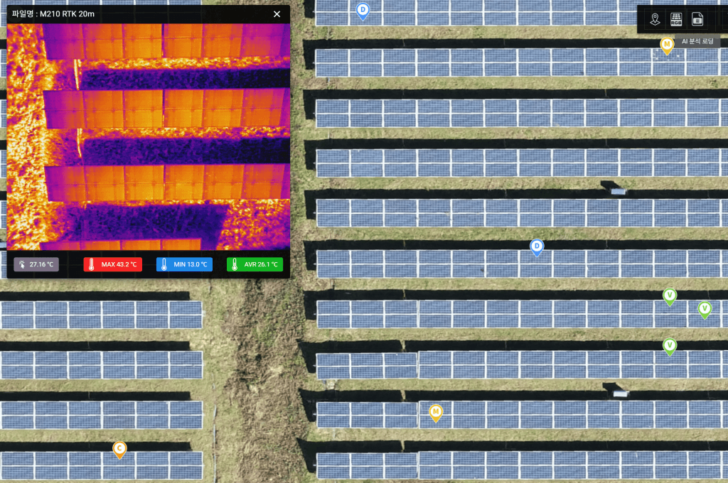
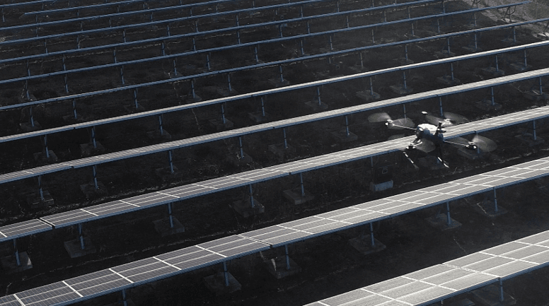
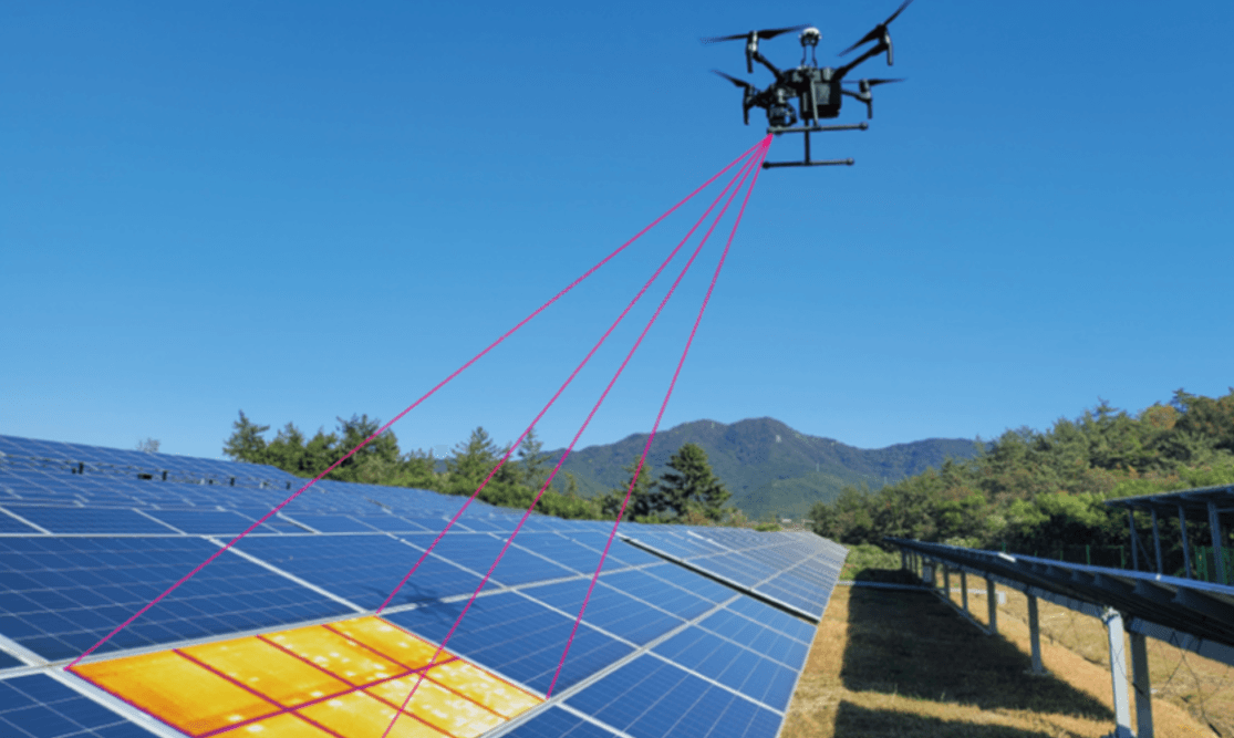
Simultaneous thermal and RGB imaging detects hot spots and cell/diode failures, producing reports with defect counts and estimated generation loss.
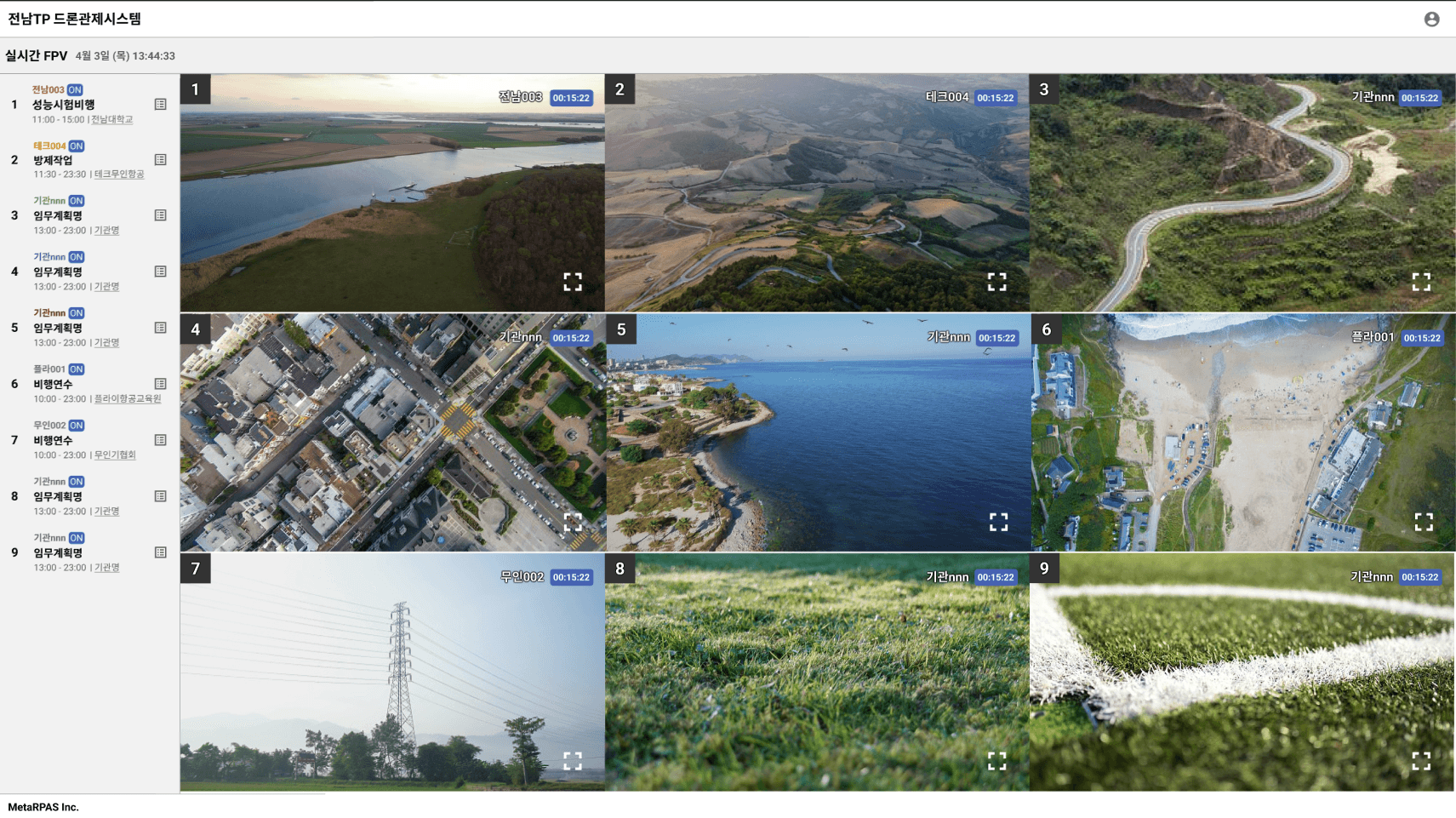
5G live video and precise beyond-visual-range control enable unmanned inspection of hard-to-access sites like stadiums and bridges, tracking cumulative crack growth.
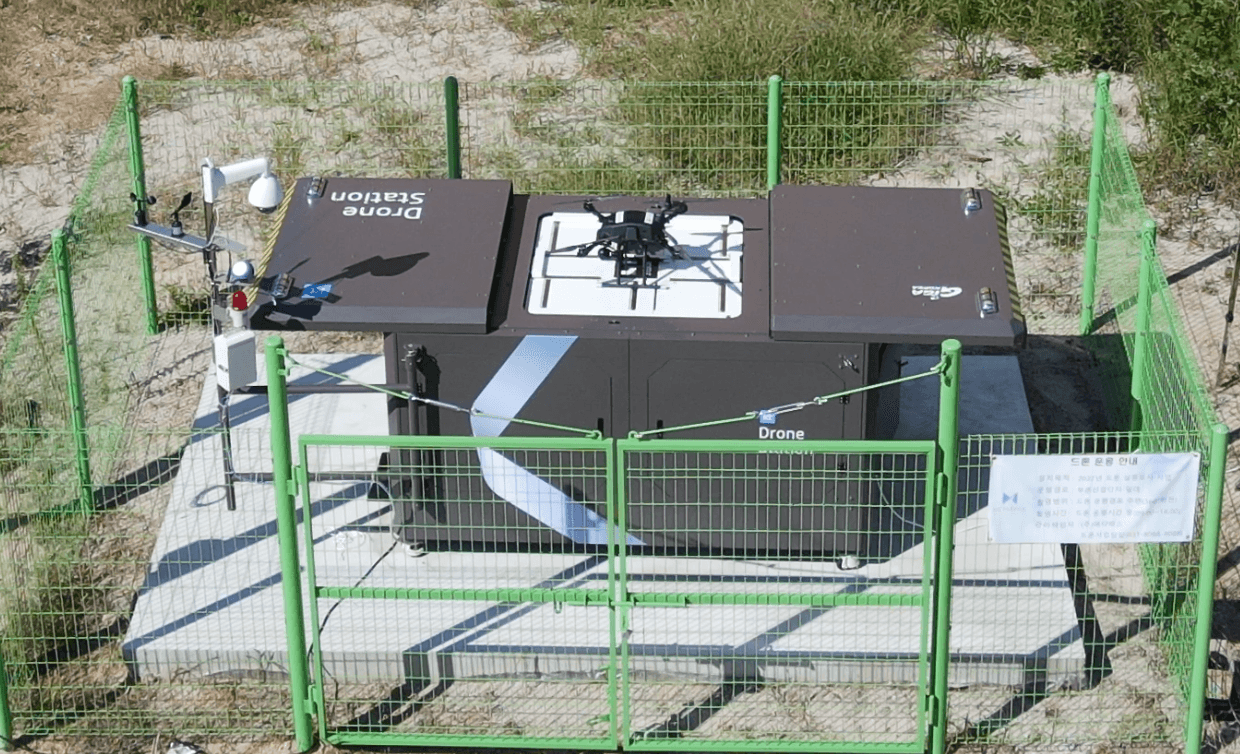
Drones take off automatically from stations for patrol flights while AI recognizes suspected wildfire smoke in the footage and raises immediate alerts.
Transmission line inspection, wind turbine management, crop condition analysis — S-Cube modules combine to expand into new inspection domains.
10MW plant inspection
0.5day
Compared with about 20 days manually
Inspection & analysis time saved
50%
Real-time analysis
Automatic battery swap
90sec
Automatic swap
Simultaneous video feeds
9CH
Live video feeds
Notes on METARPAS technology, field work, and news.
Our operating experience spans field deployments, pilot programs, and industry exhibitions.





Don't see your question? Send us an inquiry — we answer based on your site conditions.
metarpas.comFour steps: plant modeling → autonomous flight & data capture → AI defect analysis → GIS report. For a large 10MW plant, on-site inspection takes just 0.5 days — about 20 days faster than manual inspection.
Typical drone work stops at humans manually reviewing video. SOLVIT's AI automatically classifies defect types and locations, and maps IR/RGB imagery onto the plant map so you can grasp the plant's condition at a glance.
It classifies and locates hot spots, cell/multi-cell failures, diode faults, shading, and surface soiling by type. Reports include defective module counts, type ratios, and estimated hourly generation loss.
With RTK GPS precision positioning and target modeling, flight plans adapt to rooftop, floating, and other environments beyond ground-mounted plants. S-Cube modules also cover non-solar domains like facilities and wildfire watch.
Paired with a drone station, automatic takeoff/landing and sub-90-second battery swaps enable continuous unmanned operation. Both fixed and vehicle-mounted stations are supported to fit site conditions.
Tell us your plant size and site conditions — we'll send a proposal with an inspection plan and quote.