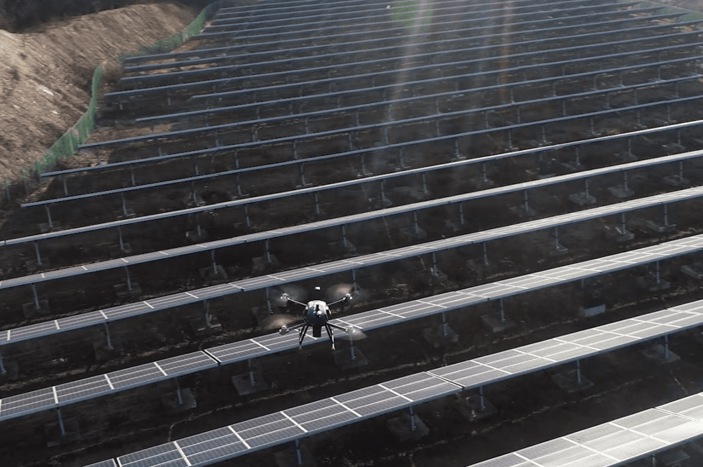
A drone followed a planned autonomous route over solar modules, collecting thermal and RGB imagery.
From capture to defect analysis
SOLVIT uses the imagery to classify and locate defects, then visualizes the results on the plant map. Consistent routes and capture conditions make large-site inspections repeatable.